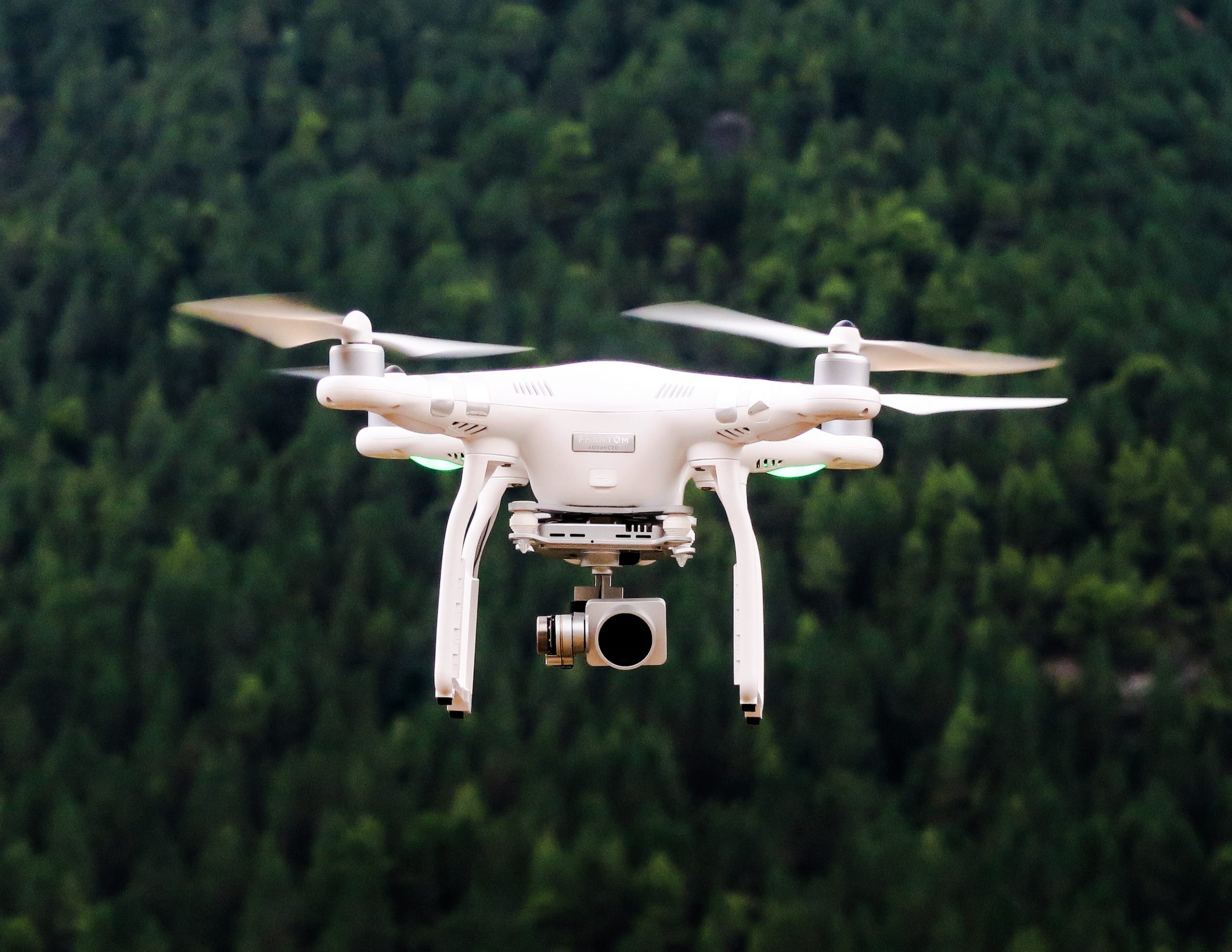
Drone and Satellite Sourced Land Maps
Drone Land Maps
Our drones allow you to:
-
map your property
-
identify stress and disease
-
create treatment plans
-
track plant growth
-
improve spraying accuracy
Our maps help you locate problem areas of a crop that are otherwise invisible to the human eye, so you can make quick and informed decisions, which provides a better crop yield and fewer resources spent on weeds and herbicides

Satellite Land Map
Satellite imagery is created with the latest satellite images and data, which give you a spatial analysis that will help you understand riparian areas and locations of natural shelter.
Satellite imagery allows you to:
-
Make better and faster decisions relating to your crops
-
Track activity over time and monitor crops in vast areas
-
Minimise human resources
-
You will spend less time travelling and checking on things yourself. This also means you are less likely to overlook crucial points in certain areas.
